About Us
 Stanley County
In 1897 a bill was passed to combine the unorganized counties of Sterling, Jackson, Nowlin and Armstrong with Stanley County, making it the second largest county in the state with an area of 4,881 square miles and a population of 1,341.
Opened up for homesteading the lush prairies, wooded creak and river bottoms were soon exploited and by 1907 homesteaders were coming by the hundred and claims shacks blossomed on every quarter section. The railroad had bridged the Missouri and this was the year it would connect with the Black Hills and spelled the death knell for the river boats. Inland towns and post offices were started to accommodate the new citizens.
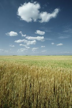
In November, 1914, Stanley County was once again divided, this time to form three counties – Stanley, Haakon and Jones. Today Stanley County is in the central part of the state. Comprised of 1521 square miles, it has a total area of 968,960 acres, of which about 64,000 acres is water. About 16,128 acres is reservation land. Fort Pierre is the only incorporated town in the county. The unincorporated village of Wendt is in the center of the county and the unincorporated village of Hayes is in the west-central part. Post offices are located in Fort Pierre and Hayes.
Within the borders of Stanley County were at least nine forts, six of which were fur trading posts. Fort George and Fort Pierre served also as military posts and Fort Bennett was always a military post, working in conjunction with Fort Robinson, Nebraska and Fort Laramie, Wyoming. The first fur post, Fort LaFramboise, was started at the mouth of the Bad River in 1817. The first Fort Pierre, three miles north, was completed in 1832. It was here that Catlin arrived on the Yellowstone, the first steamboat on the upper Missouri. Here he witnessed the meeting of Old Pierre Choteau and 6,000 friendly Indians and painted pictures of the Chiefs and the Fort.
In 1875 the Sioux signed a treaty with the governor for a piece of land one mile square to be used for the unloading of freight, barns, etc. A pontoon bridge crossed onto the island from the mainland about where Highway 14 leads to the Missouri River Bridge and here cattle were loaded on large boats. It was on this same mile square that the town site of Stanley was plotted and where they tried to move Fort Pierre after the disastrous flood of 1905, but the business men held out for the present site. There was also a provision in this treaty for a road one mile wide from this site to the Black Hills, known as the Black Hills Trail for the purpose of freighting and mail delivery. Road ranches were set up every five to ten miles along the trail.
After the railroad reached the Missouri River from the east at Pierre in 1880, Fort Pierre became the starting point for the freight wagons which used the Deadwood Trail to the gold camps in the Black Hills. It was also the fur capital and freight center of the upper Missouri for over 50 years.